
Overpelt topographic map
Interactive map
Click on the map to display elevation.
About this map
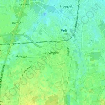
Name: Overpelt topographic map, elevation, terrain.
Location: Overpelt, Pelt, Limbourg, Flandre, 3900, Belgique (51.19135 5.40298 51.23135 5.44298)
Average elevation: 45 m
Minimum elevation: 38 m
Maximum elevation: 52 m