
Romford topographic map
Interactive map
Click on the map to display elevation.
About this map
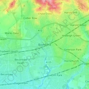
Name: Romford topographic map, elevation, terrain.
Location: Romford, Londen, Greater London, Engeland, RM1 1RX, VK (51.53605 0.14226 51.61605 0.22226)
Average elevation: 29 m
Minimum elevation: 1 m
Maximum elevation: 109 m