
Buerba topographic map
Interactive map
Click on the map to display elevation.
About this map
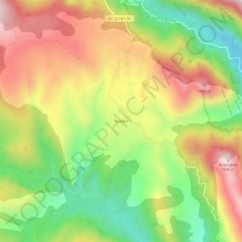
Name: Buerba topographic map, elevation, terrain.
Location: Buerba, Fanlo, Sobrarbe, Huesca, Aragón, España (42.51801 0.02972 42.55801 0.06972)
Average elevation: 1,134 m
Minimum elevation: 766 m
Maximum elevation: 1,524 m
Other topographic maps
Click on a map to view its topography, its elevation and its terrain.