
Jersey Shore Region topographic map
Interactive map
Click on the map to display elevation.
About this map
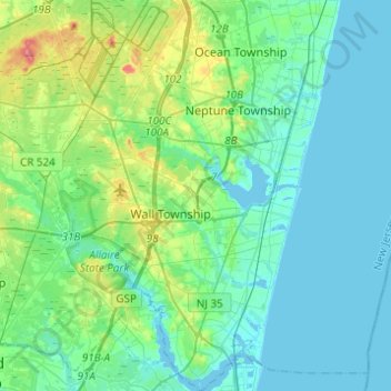
Name: Jersey Shore Region topographic map, elevation, terrain.
Average elevation: 16 m
Minimum elevation: -5 m
Maximum elevation: 82 m
Other topographic maps
Click on a map to view its topography, its elevation and its terrain.
Glendola
United States > New Jersey > Monmouth County > Wall Township > Glendola
Glendola, Wall Township, Monmouth County, New Jersey, 07753, United States
Average elevation: 22 m