
Monte Cava topographic map
Interactive map
Click on the map to display elevation.
About this map
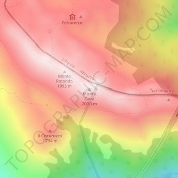
Name: Monte Cava topographic map, elevation, terrain.
Location: Monte Cava, Borgorose, Rieti, Lazio, Italia (42.23227 13.29257 42.23237 13.29267)
Average elevation: 1,688 m
Minimum elevation: 1,105 m
Maximum elevation: 1,995 m