
Nyangra topographic map
Interactive map
Click on the map to display elevation.
About this map
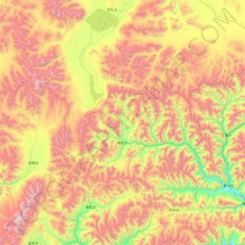
Name: Nyangra topographic map, elevation, terrain.
Location: Nyangra, Xaitongmoin County, Shigatse, Tibet, China (29.88069 88.04722 30.36158 89.00951)
Average elevation: 5,143 m
Minimum elevation: 4,161 m
Maximum elevation: 6,273 m