
Issing topographic map
Interactive map
Click on the map to display elevation.
About this map
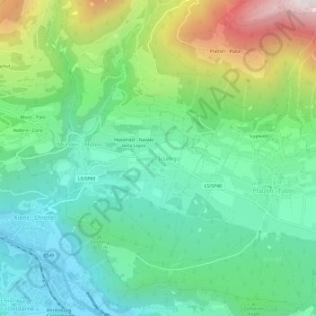
Name: Issing topographic map, elevation, terrain.
Average elevation: 1,126 m
Minimum elevation: 775 m
Maximum elevation: 1,956 m
Other topographic maps
Click on a map to view its topography, its elevation and its terrain.
Haselried
Italien > Trentino-Südtirol > Bozen > Issing
Haselried, Issing, Pfalzen, Pustertal, Bozen, Trentino-Südtirol, 39030, Italien
Average elevation: 1,146 m