
Park Ridge topographic map
Interactive map
Click on the map to display elevation.
About this map
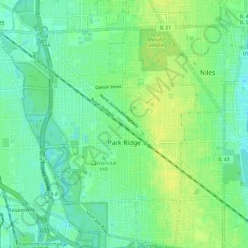
Name: Park Ridge topographic map, elevation, terrain.
Location: Park Ridge, Cook County, Illinois, USA (41.98448 -87.86983 42.04717 -87.81627)
Average elevation: 198 m
Minimum elevation: 190 m
Maximum elevation: 206 m