
Yorkville topographic map
Interactive map
Click on the map to display elevation.
About this map
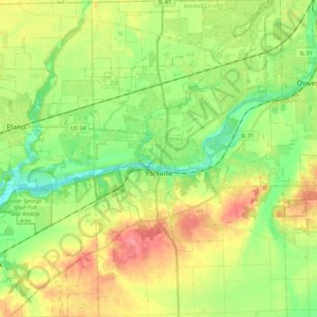
Name: Yorkville topographic map, elevation, terrain.
Location: Yorkville, Kendall County, Illinois, 60560, USA (41.57382 -88.53349 41.72191 -88.38920)
Average elevation: 203 m
Minimum elevation: 169 m
Maximum elevation: 248 m