
Earlham topographic map
Interactive map
Click on the map to display elevation.
About this map
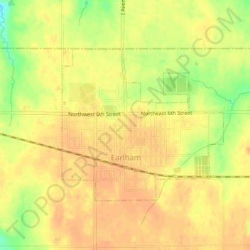
Name: Earlham topographic map, elevation, terrain.
Location: Earlham, Madison County, Iowa, USA (41.48672 -94.13229 41.50317 -94.10789)
Average elevation: 331 m
Minimum elevation: 305 m
Maximum elevation: 340 m