
Limerick topographic map
Interactive map
Click on the map to display elevation.
About this map
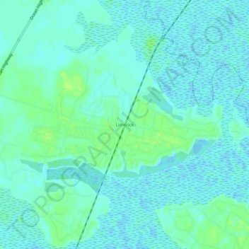
Name: Limerick topographic map, elevation, terrain.
Location: Limerick, Liberty County, Georgia, 31320, USA (31.81688 -81.40594 31.85688 -81.36594)
Average elevation: 4 m
Minimum elevation: -4 m
Maximum elevation: 12 m