
Hohenwarsleben topographic map
Interactive map
Click on the map to display elevation.
About this map
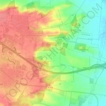
Name: Hohenwarsleben topographic map, elevation, terrain.
Location: Hohenwarsleben, Hohe Börde, Börde, Sachsen-Anhalt, Deutschland (52.15505 11.48486 52.18809 11.54273)
Average elevation: 106 m
Minimum elevation: 64 m
Maximum elevation: 142 m