
中区 topographic map
Interactive map
Click on the map to display elevation.
About this map
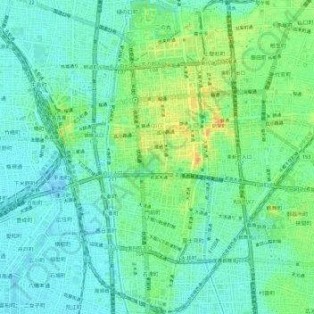
Name: 中区 topographic map, elevation, terrain.
Location: 中区, 名古屋市, 愛知県, 中部地方, 日本 (35.14254 136.89200 35.18727 136.93035)
Average elevation: 12 m
Minimum elevation: -7 m
Maximum elevation: 38 m
Other topographic maps
Click on a map to view its topography, its elevation and its terrain.