
Hooghly topographic map
Interactive map
Click on the map to display elevation.
About this map
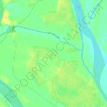
Name: Hooghly topographic map, elevation, terrain.
Location: Hooghly, Murshidabad, West Bengal, 742213, India (24.49483 88.05061 24.51335 88.09110)
Average elevation: 22 m
Minimum elevation: 12 m
Maximum elevation: 33 m
Other topographic maps
Click on a map to view its topography, its elevation and its terrain.
Howrah
India > West Bengal > Howrah
Howrah, Haora, Howrah, West Bengal, 711101, India
Average elevation: 5 m
New Town
India > West Bengal > New Town
New Town, Twenty-four Parganas, North 24 Parganas, West Bengal, 700161, India
Average elevation: 3 m