
Walsum topographic map
Interactive map
Click on the map to display elevation.
About this map
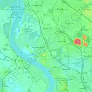
Name: Walsum topographic map, elevation, terrain.
Average elevation: 26 m
Minimum elevation: 10 m
Maximum elevation: 81 m
Other topographic maps
Click on a map to view its topography, its elevation and its terrain.
Hamborn
Germany > North Rhine-Westphalia > Duisburg
Hamborn, Duisburg, North Rhine-Westphalia, Germany
Average elevation: 30 m
Altstadt
Germany > North Rhine-Westphalia > Duisburg
Altstadt, Duisburg-Mitte, Duisburg, Regierungsbezirk Düsseldorf, North Rhine-Westphalia, Germany
Average elevation: 33 m
Wanheimerort
Germany > North Rhine-Westphalia > Duisburg
Wanheimerort, Duisburg-Mitte, Duisburg, Regierungsbezirk Düsseldorf, North Rhine-Westphalia, 47055, Germany
Average elevation: 33 m