
汾河 topographic map
Interactive map
Click on the map to display elevation.
About this map
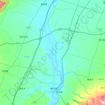
Name: 汾河 topographic map, elevation, terrain.
Location: 汾河, 新城镇, 襄汾县, 临汾市, 山西省, 中国 (35.85352 111.40332 36.03173 111.43821)
Average elevation: 474 m
Minimum elevation: 407 m
Maximum elevation: 835 m