
Creswell topographic map
Interactive map
Click on the map to display elevation.
About this map
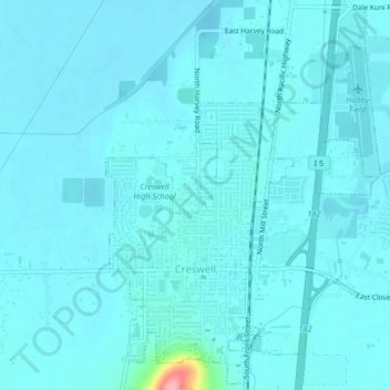
Name: Creswell topographic map, elevation, terrain.
Average elevation: 165 m
Minimum elevation: 155 m
Maximum elevation: 277 m
Other topographic maps
Click on a map to view its topography, its elevation and its terrain.
Springfield
États-Unis d'Amérique > Oregon > Lane County
Springfield, Lane County, Oregon, États-Unis d'Amérique
Average elevation: 177 m
Eugene
États-Unis d'Amérique > Oregon > Lane County
Eugene, Lane County, Oregon, États-Unis d'Amérique
Average elevation: 163 m