
大红柳滩 topographic map
Interactive map
Click on the map to display elevation.
About this map
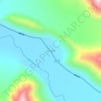
Name: 大红柳滩 topographic map, elevation, terrain.
Location: 大红柳滩, 和田县, 和田地区, 新疆维吾尔自治区, 中国 (35.96291 79.16848 36.00291 79.20848)
Average elevation: 4,388 m
Minimum elevation: 4,195 m
Maximum elevation: 5,053 m
Other topographic maps
Click on a map to view its topography, its elevation and its terrain.