
南湖州镇 topographic map
Interactive map
Click on the map to display elevation.
About this map
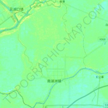
Name: 南湖州镇 topographic map, elevation, terrain.
Location: 南湖州镇, 湘阴县, 岳阳市, 湖南省, 中国 (28.62725 112.50653 28.74731 112.63814)
Average elevation: 28 m
Minimum elevation: 22 m
Maximum elevation: 40 m
Other topographic maps
Click on a map to view its topography, its elevation and its terrain.