
Ngoma topographic map
Interactive map
Click on the map to display elevation.
About this map
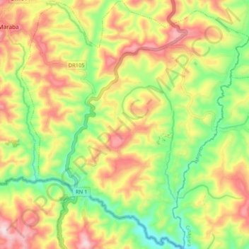
Name: Ngoma topographic map, elevation, terrain.
Location: Ngoma, Nyaruguru District, Southern Province, Rwanda (-2.81031 29.64846 -2.72919 29.72291)
Average elevation: 1,637 m
Minimum elevation: 1,441 m
Maximum elevation: 1,854 m