
红桥区 topographic map
Interactive map
Click on the map to display elevation.
About this map
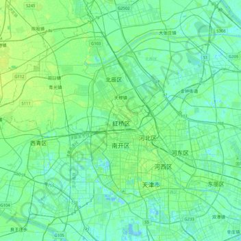
Name: 红桥区 topographic map, elevation, terrain.
Location: 红桥区, 天津市, 300130, 中国 (39.00947 116.98378 39.32947 117.30378)
Average elevation: 5 m
Minimum elevation: -5 m
Maximum elevation: 20 m
Other topographic maps
Click on a map to view its topography, its elevation and its terrain.