
Thank you for supporting this site ❤️
Make a donation
Make a donation
North Bend topographic map
Click on the map to display elevation.
Thank you for supporting this site ❤️
Make a donation
Make a donation
About this map
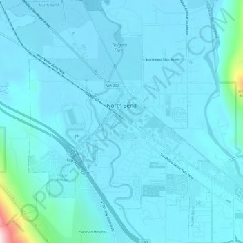
Name: North Bend topographic map, elevation, terrain.
Location: North Bend, King County, Washington, United States (47.47388 -121.81143 47.51245 -121.76354)
Average elevation: 160 m
Minimum elevation: 124 m
Maximum elevation: 596 m
Thank you for supporting this site ❤️
Make a donation
Make a donation