
坑口村 topographic map
Interactive map
Click on the map to display elevation.
About this map
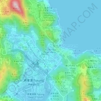
Name: 坑口村 topographic map, elevation, terrain.
Location: 坑口村, 將軍澳, 西貢區, 新界, 香港, 中国 (22.30119 114.24685 22.34119 114.28685)
Average elevation: 71 m
Minimum elevation: -2 m
Maximum elevation: 407 m
Other topographic maps
Click on a map to view its topography, its elevation and its terrain.