
Overpelt topographic map
Interactive map
Click on the map to display elevation.
About this map
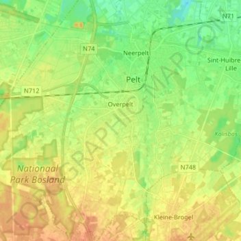
Name: Overpelt topographic map, elevation, terrain.
Location: Overpelt, Pelt, Maaseik, Limbourg, 3900, Belgique (51.16426 5.32014 51.24688 5.44300)
Average elevation: 46 m
Minimum elevation: 29 m
Maximum elevation: 62 m