
Muncie topographic map
Interactive map
Click on the map to display elevation.
About this map
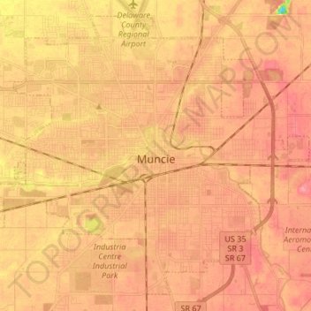
Name: Muncie topographic map, elevation, terrain.
Location: Muncie, Delaware County, Indiana, États-Unis d'Amérique (40.14910 -85.45445 40.24070 -85.32067)
Average elevation: 291 m
Minimum elevation: 237 m
Maximum elevation: 313 m