
Trier topographic map
Interactive map
Click on the map to display elevation.
About this map
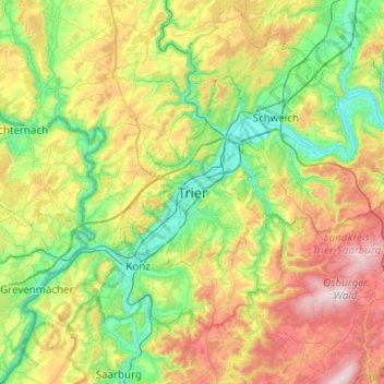
Name: Trier topographic map, elevation, terrain.
Location: Trier, Rheinland-Pfalz, 54290, Deutschland (49.59962 6.48419 49.91962 6.80419)
Average elevation: 314 m
Minimum elevation: 112 m
Maximum elevation: 712 m
Die Höhenlage von Trier erstreckt sich von 124 m ü. NHN auf der Mosel kurz vor Schweich bis auf 427 m ü. NHN auf dem Kuppensteiner Wild bei Trier-Irsch. Die Höhe der Innenstadt, gemessen am Hauptmarkt, beträgt 137 m ü. NHN.