
Hempfield Township topographic map
Interactive map
Click on the map to display elevation.
About this map
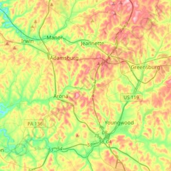
Name: Hempfield Township topographic map, elevation, terrain.
Location: Hempfield Township, Westmoreland County, Pennsylvania, USA (40.18663 -79.70014 40.37516 -79.46285)
Average elevation: 340 m
Minimum elevation: 241 m
Maximum elevation: 464 m