
Bir Stal topographic map
Interactive map
Click on the map to display elevation.
About this map
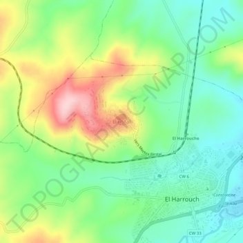
Name: Bir Stal topographic map, elevation, terrain.
Location: Bir Stal, El Harrouch, Daïra El Harrouch, Skikda, 21003, Algérie (36.64418 6.80367 36.68418 6.84367)
Average elevation: 166 m
Minimum elevation: 80 m
Maximum elevation: 318 m
Other topographic maps
Click on a map to view its topography, its elevation and its terrain.
Toumiette
Algérie > Skikda > Daïra El Harrouch > El Harrouch
Toumiette, El Harrouch, Daïra El Harrouch, Skikda, 21003, Algérie
Average elevation: 242 m