
Boyd Lake topographic map
Interactive map
Click on the map to display elevation.
About this map
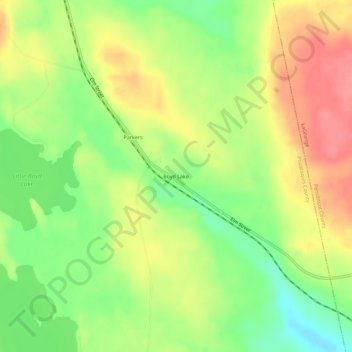
Name: Boyd Lake topographic map, elevation, terrain.
Location: Boyd Lake, Piscataquis County, Maine, USA (45.16728 -68.91142 45.20728 -68.87142)
Average elevation: 101 m
Minimum elevation: 60 m
Maximum elevation: 142 m