
小红门村 topographic map
Interactive map
Click on the map to display elevation.
About this map
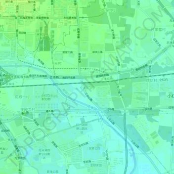
Name: 小红门村 topographic map, elevation, terrain.
Location: 小红门村, 朝阳区, 北京市, 100076, 中国 (39.80852 116.42324 39.84852 116.46324)
Average elevation: 38 m
Minimum elevation: 33 m
Maximum elevation: 44 m
Other topographic maps
Click on a map to view its topography, its elevation and its terrain.