
Aiken County topographic map
Interactive map
Click on the map to display elevation.
About this map
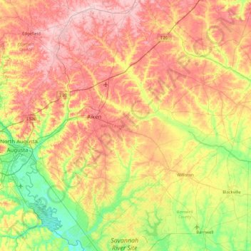
Name: Aiken County topographic map, elevation, terrain.
Location: Aiken County, Caroline du Sud, États-Unis d'Amérique (33.19796 -82.01253 33.87508 -81.18730)
Average elevation: 109 m
Minimum elevation: 22 m
Maximum elevation: 208 m