
Itá topographic map
Interactive map
Click on the map to display elevation.
About this map
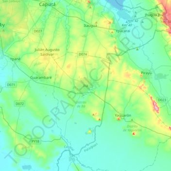
Name: Itá topographic map, elevation, terrain.
Location: Itá, Central, Región Oriental, Paraguay (-25.66747 -57.52319 -25.34747 -57.20319)
Average elevation: 117 m
Minimum elevation: 58 m
Maximum elevation: 352 m