
Goro topographic map
Interactive map
Click on the map to display elevation.
About this map
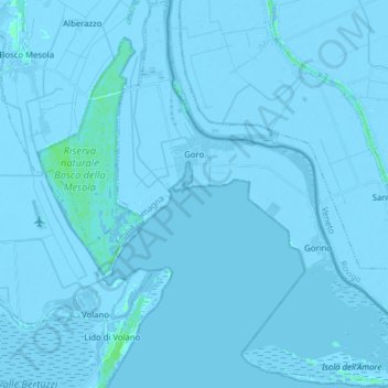
Name: Goro topographic map, elevation, terrain.
Location: Goro, Unione Delta del Po, FE, Emilia-Romagna, Italia (44.78359 12.25237 44.89482 12.39871)
Average elevation: -2 m
Minimum elevation: -8 m
Maximum elevation: 7 m