
Thank you for supporting this site ❤️
Make a donation
Make a donation
Rocky View County topographic map
Click on the map to display elevation.
Thank you for supporting this site ❤️
Make a donation
Make a donation
About this map
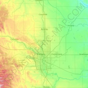
Name: Rocky View County topographic map, elevation, terrain.
Location: Rocky View County, Alberta, Canada (50.79461 -114.74616 51.48210 -113.37685)
Average elevation: 1,112 m
Minimum elevation: 829 m
Maximum elevation: 2,083 m
Thank you for supporting this site ❤️
Make a donation
Make a donation