
Españita topographic map
Interactive map
Click on the map to display elevation.
About this map
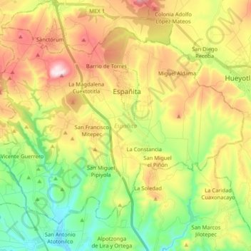
Name: Españita topographic map, elevation, terrain.
Location: Españita, Tlaxcala, 90297, México (19.38166 -98.50826 19.49981 -98.34878)
Average elevation: 2,575 m
Minimum elevation: 2,312 m
Maximum elevation: 2,931 m
Other topographic maps
Click on a map to view its topography, its elevation and its terrain.