
Antúnez (Morelos) topographic map
Interactive map
Click on the map to display elevation.
About this map
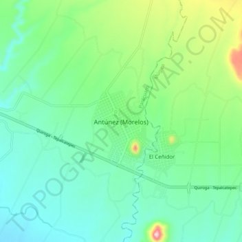
Name: Antúnez (Morelos) topographic map, elevation, terrain.
Location: Antúnez (Morelos), Parácuaro, Michoacán de Ocampo, México (18.97338 -102.24432 19.05338 -102.16432)
Average elevation: 361 m
Minimum elevation: 286 m
Maximum elevation: 581 m