
El Pontón topographic map
Interactive map
Click on the map to display elevation.
About this map
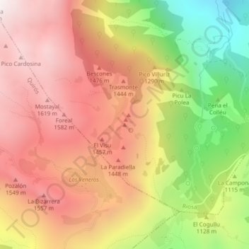
Name: El Pontón topographic map, elevation, terrain.
Location: El Pontón, Riosa, Asturias, España (43.17677 -5.89690 43.17687 -5.89680)
Average elevation: 1,217 m
Minimum elevation: 503 m
Maximum elevation: 1,736 m
Other topographic maps
Click on a map to view its topography, its elevation and its terrain.
Collado Palmir
Collado Palmir, Riosa, Asturias, 33160, España
Average elevation: 675 m