
Las Cuevas topographic map
Interactive map
Click on the map to display elevation.
About this map
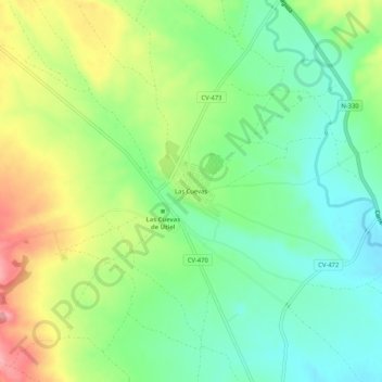
Name: Las Cuevas topographic map, elevation, terrain.
Average elevation: 804 m
Minimum elevation: 763 m
Maximum elevation: 869 m
Other topographic maps
Click on a map to view its topography, its elevation and its terrain.
Rio Magro
España > Comunidad Valenciana > Utiel
Rio Magro, Utiel, La Plana de Utiel-Requena, Valencia, Comunidad Valenciana, 46300, España
Average elevation: 739 m