
Jesseren topographic map
Interactive map
Click on the map to display elevation.
About this map
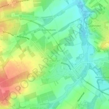
Name: Jesseren topographic map, elevation, terrain.
Location: Jesseren, Looz, Tongres, Limbourg, Flandre, Belgique (50.79464 5.37551 50.82000 5.40378)
Average elevation: 79 m
Minimum elevation: 53 m
Maximum elevation: 119 m