
Deer Park topographic map
Interactive map
Click on the map to display elevation.
About this map
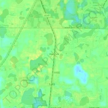
Name: Deer Park topographic map, elevation, terrain.
Location: Deer Park, Hillsborough County, Florida, 33548:33556, USA (28.14224 -82.48065 28.18224 -82.44065)
Average elevation: 22 m
Minimum elevation: 12 m
Maximum elevation: 30 m