
Jevura topographic map
Interactive map
Click on the map to display elevation.
About this map
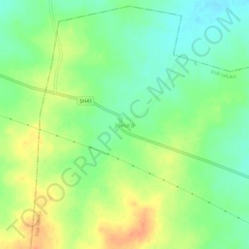
Name: Jevura topographic map, elevation, terrain.
Location: Jevura, Indi taluku, Vijayapura district, Karnataka, India (17.24612 75.75405 17.28612 75.79405)
Average elevation: 490 m
Minimum elevation: 471 m
Maximum elevation: 513 m