
Nelson County topographic map
Interactive map
Click on the map to display elevation.
About this map
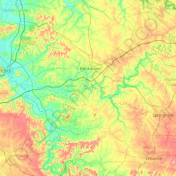
Name: Nelson County topographic map, elevation, terrain.
Location: Nelson County, Kentucky, United States (37.52277 -85.74251 37.99056 -85.15064)
Average elevation: 207 m
Minimum elevation: 127 m
Maximum elevation: 352 m