
Tullaghan topographic map
Interactive map
Click on the map to display elevation.
About this map
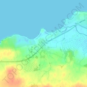
Name: Tullaghan topographic map, elevation, terrain.
Location: Tullaghan, County Leitrim, Connacht, Ireland (54.46437 -8.33511 54.47307 -8.31782)
Average elevation: 12 m
Minimum elevation: -2 m
Maximum elevation: 42 m