
Rattan topographic map
Interactive map
Click on the map to display elevation.
About this map
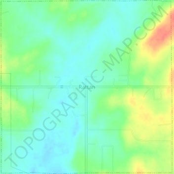
Name: Rattan topographic map, elevation, terrain.
Location: Rattan, Pushmataha County, Oklahoma, 74562, United States (34.18570 -95.43058 34.21502 -95.39558)
Average elevation: 153 m
Minimum elevation: 135 m
Maximum elevation: 187 m