
Haut-Lomami topographic map
Interactive map
Click on the map to display elevation.
About this map
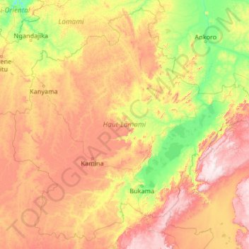
Name: Haut-Lomami topographic map, elevation, terrain.
Location: Haut-Lomami, Democratic Republic of the Congo (-10.03467 23.62657 -6.15989 27.86413)
Average elevation: 897 m
Minimum elevation: 514 m
Maximum elevation: 1,907 m