
Ituri Province topographic map
Interactive map
Click on the map to display elevation.
About this map
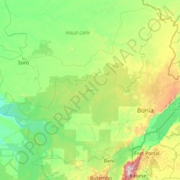
Name: Ituri Province topographic map, elevation, terrain.
Location: Ituri Province, Democratic Republic of the Congo (0.51962 27.42984 3.68346 31.30568)
Average elevation: 958 m
Minimum elevation: 531 m
Maximum elevation: 4,825 m