
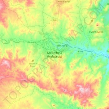
Mbombela (Nelspruit) topographic map
Interactive map
Click on the map to display elevation.
About this map
Name: Mbombela (Nelspruit) topographic map, elevation, terrain.
Location: Mbombela (Nelspruit), Ehlanzeni, Mpumalanga, 1212, RSA (-25.64194 30.82472 -25.32194 31.14472)
Average elevation: 833 m
Minimum elevation: 488 m
Maximum elevation: 1,398 m