
Spencer topographic map
Interactive map
Click on the map to display elevation.
About this map
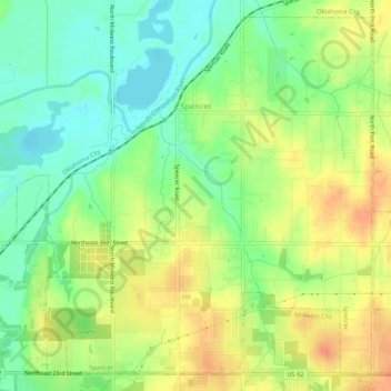
Name: Spencer topographic map, elevation, terrain.
Location: Spencer, Oklahoma County, Oklahoma, USA (35.49300 -97.39771 35.53270 -97.34433)
Average elevation: 363 m
Minimum elevation: 342 m
Maximum elevation: 385 m