
Ulu Geruntum topographic map
Interactive map
Click on the map to display elevation.
About this map
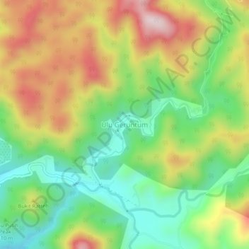
Name: Ulu Geruntum topographic map, elevation, terrain.
Location: Ulu Geruntum, Perak, 31600, Malaysia (4.44502 101.20126 4.48502 101.24126)
Average elevation: 282 m
Minimum elevation: 76 m
Maximum elevation: 554 m