
Camlachie topographic map
Interactive map
Click on the map to display elevation.
About this map
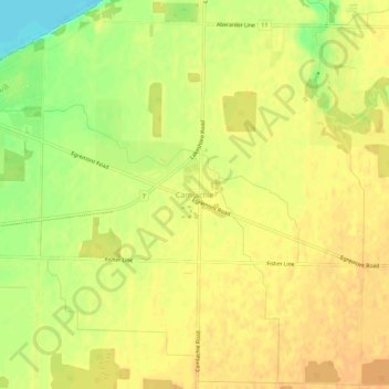
Name: Camlachie topographic map, elevation, terrain.
Location: Camlachie, Lambton County, Ontario, Canada (43.01644 -82.18303 43.05644 -82.14303)
Average elevation: 197 m
Minimum elevation: 174 m
Maximum elevation: 206 m